Mountainous region in the form of an arch that extends from Guane in the province of Pinar del Río to the Mariel Heights in Artemisa, bordered by the plains of Pinar del Río, named Cordillera de Guaniguanico. A cordillera is an extensive chain and/or network system of mountain ranges. Located to the north of the provinces of Pinar del Río and Artemisa, Cordillera de Guaniguanico is made up of the mountains, called Sierra del Rosario and the Sierra de los Órgos. Valle de Viñales is located in the Sierra de los Órgos of the mountain range of Guaniguanico. In the Sierra de los Órganos, there is a cavern system made up of a group of mountain ranges called: Sierra de Viñales, del Medio, de Ancón, de la Chorrera or Guasasa and de Pan de Azúcar.
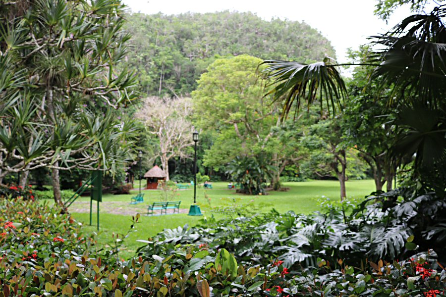
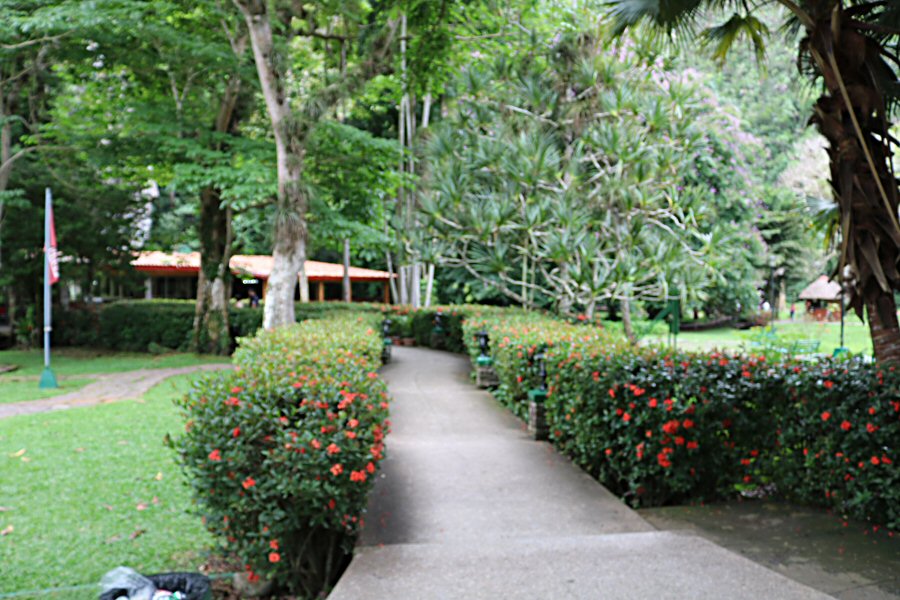
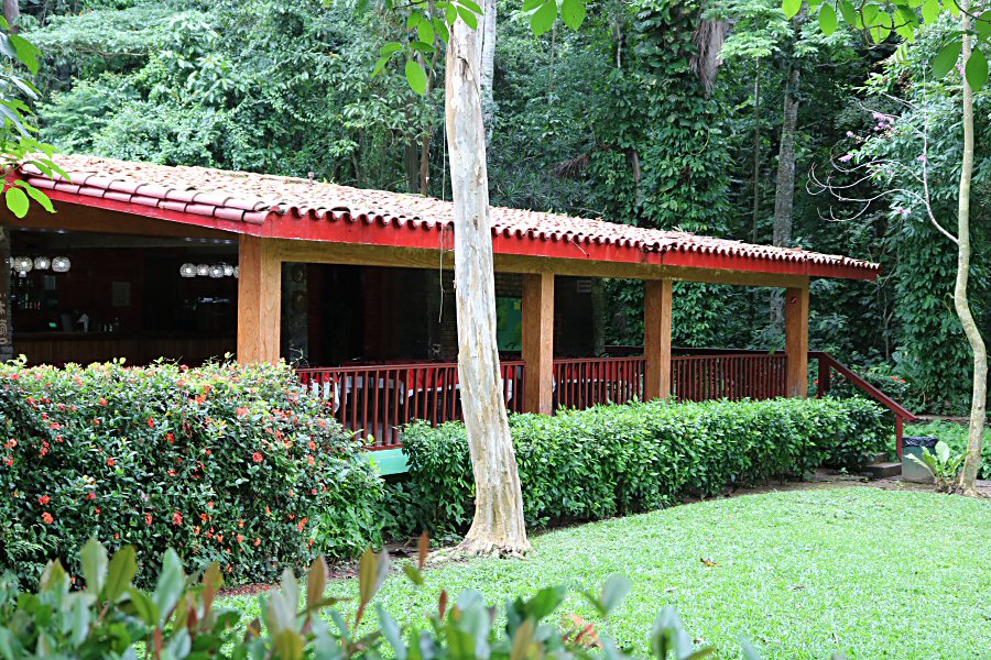
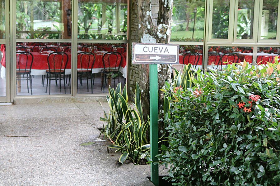
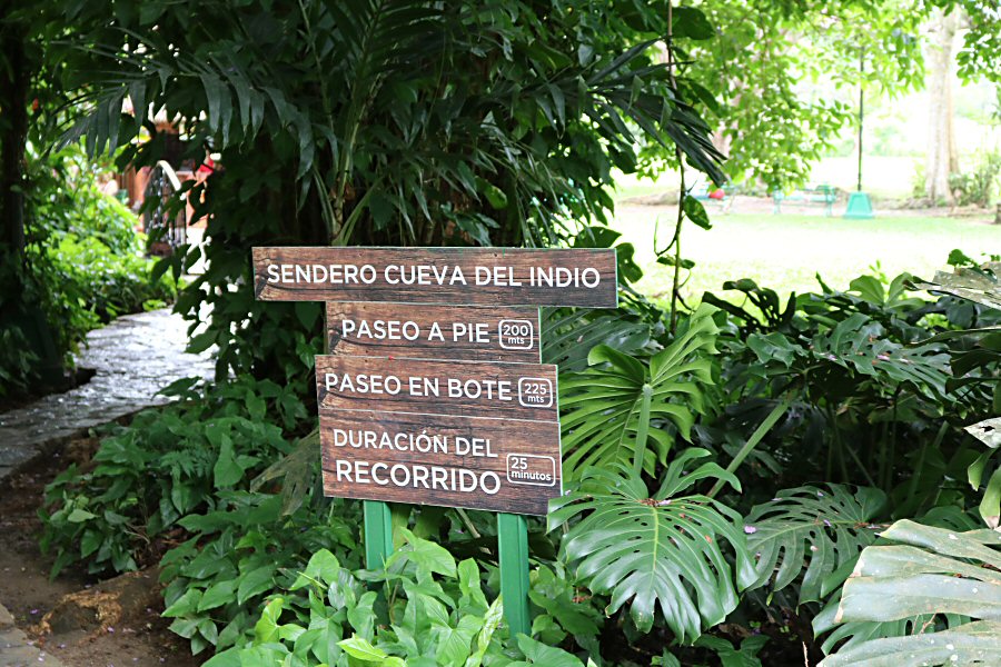
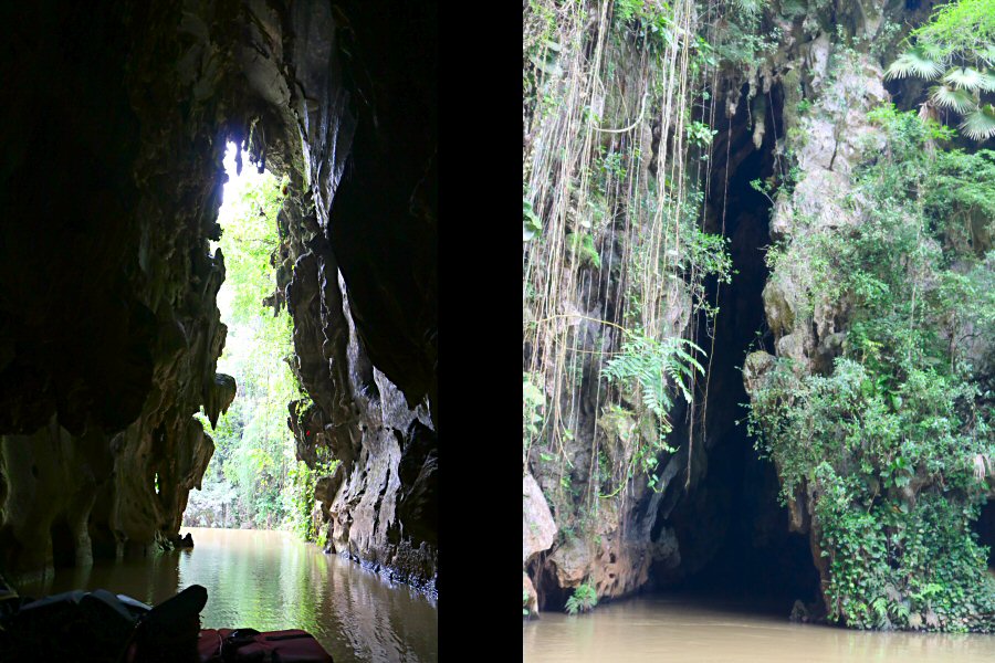
Subsequently, in the Valley there are several caves, very significant in terms of shape and originality, such as the Cueva de San Miguel, Gran Caverna de Santo Tomas, Cueva del Indio. However, the most attractive cave for visitors to the valley is the Cueva del Indio, due to the boat ride along the river that runs through it. The cave is located in an exceptional natural landscape, where the green vegetation and the prominence of the mogotes predominate. A mogote is a generally isolated, steep-sided residual hill in the tropics composed of either limestone, marble, or dolomite. It is very well connected by road and in the surroundings there are gastronomy and lodging services.
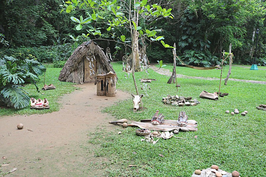
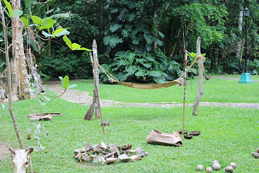
The cave was used by the Guanatabayans, indigenous people of western Cuba in the pre-Columbian time, who lived in this area before the island was conquered by the Spanish, as a burial site, as can be understood from the discovered human bones (maybe also a safe place for religious ceremonies). Even though some says that the indigenous people carved the rocks inside the limestone cave into a house for themselves, there are no visible signs of Indian occupation: instead of paintings, the cave walls are marked with natural wave patterns, testimony to the flooding that took place during their formation millions of years ago. When the Spanish came to the region, this cave was also used as a temporary refuge from the Spanish colonists.
The network of caves, which had been out of use for years, was rediscovered by a peasant named Juan Díaz in 1920.
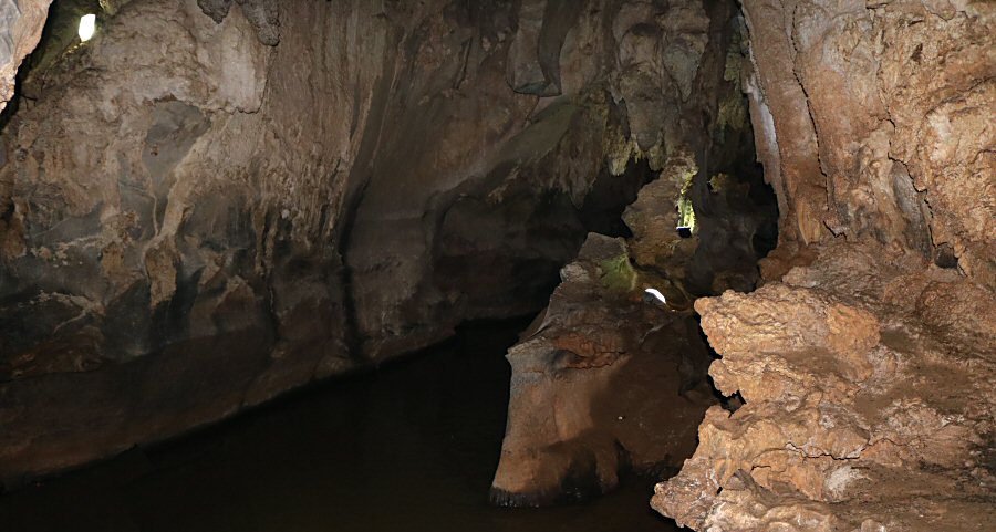
Only about 800 m of the cave is open to the visitors. The tourists can only visit this illuminated part. This river inside the cave goes about 4 km further inland. Inside the cave two underground rivers run which flow to the San Vicente River.
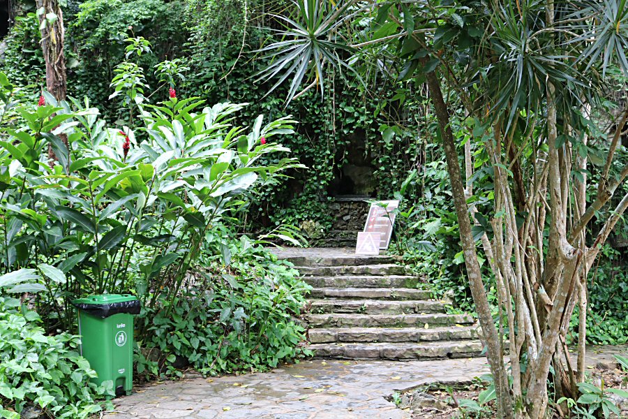
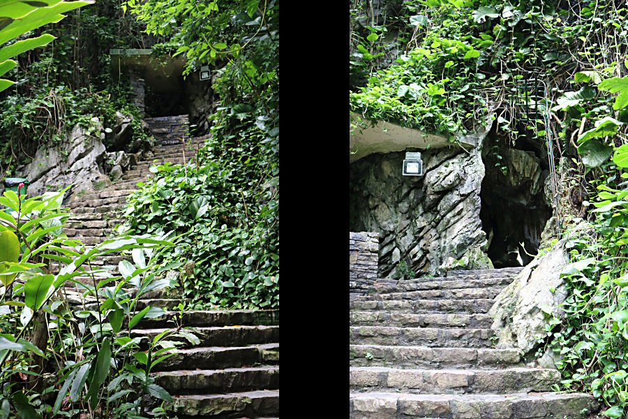
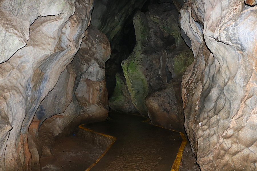
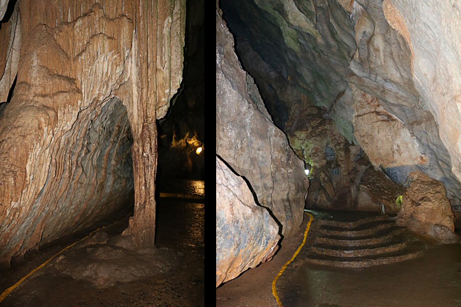
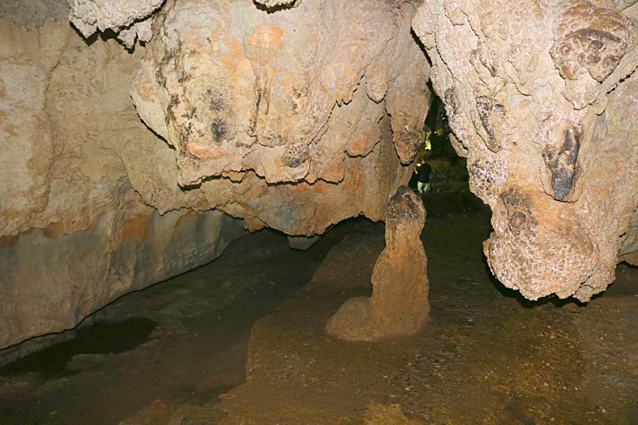
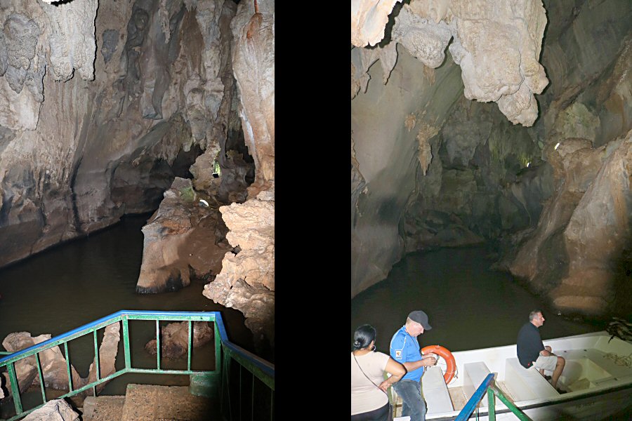
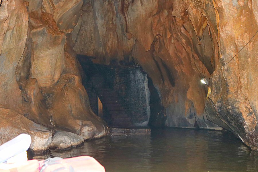
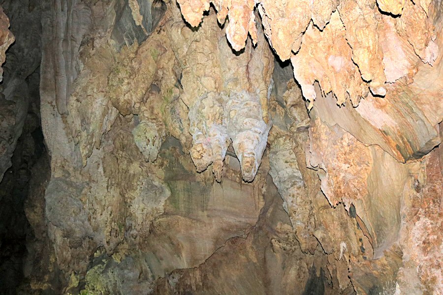
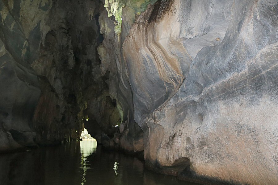
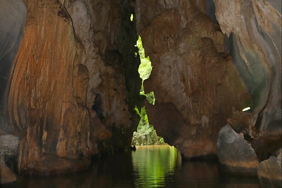
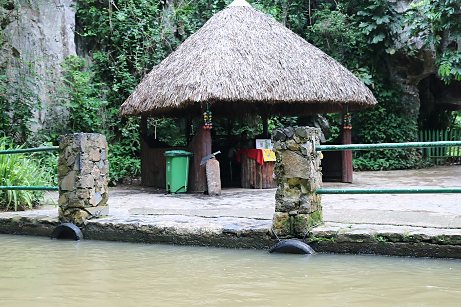
After the entrance, there is a well-lit path that goes down through the large, jagged tunnel’s damp interior about 300 meters. Then you come across the river and a slippery set of steps leads you down to a subterranean river. Due to the construction of dams on the river, part of the cave is only accessible by motorboat. It’s well worth taking the boat ride here, where a guide steers you for ten minutes through the remaining 400 m of explorable cave. The various figures formed by stalactites, cause various interesting shapes to form on the semi-dark walls, such as the image in which an Indian can be seen smoking a pipe. Your guide helps you to visualize your imagination by stopping the boat in front of such images. After a short boat tour on this river, you come back to daylight through another path that resembles a secret passage. The boat drops you off out in the open, next to some souvenir stalls and a car park around the corner from where you started. The exit after the boat trip is about 150 m northeast of the entrance. It is the place where the San Vicente River flows above ground, before it disappears again.
The Valle de Viñales received the status of National Monument in 1979. It was approved as a National Park in 1999, and the same year, it was declared a World Heritage Site by UNESCO, in the category of Cultural Landscape.
